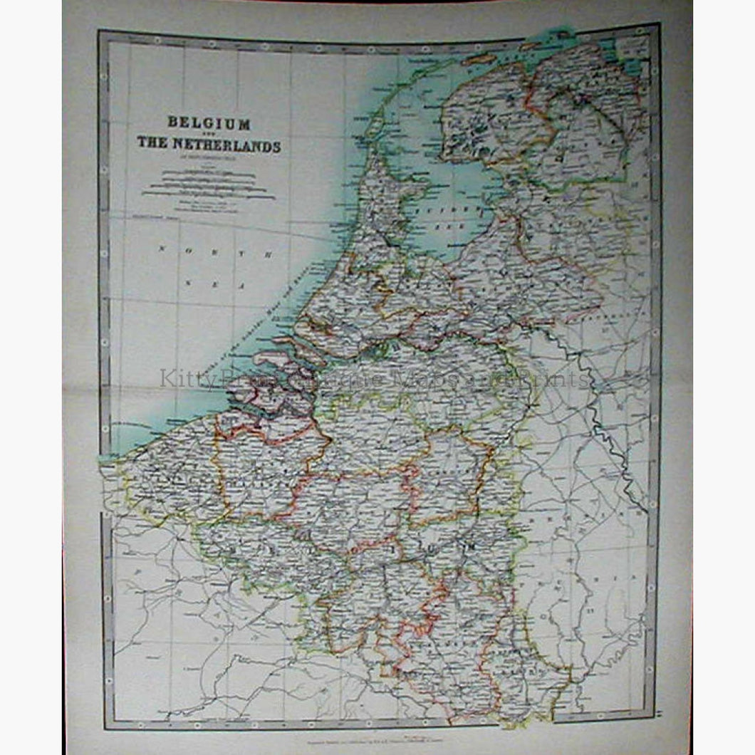
Antique, Vintage,Coloured, Geological, Very Detailed Map of Belgium and Netherlands, 18 Miles to the Inch, with explanation of the Area and Population of the Provinces of Belgium and The Netherlands on the left. Also showing Raiways, lighthouses and Boundaries and Canals.
Published by Letts, Son & Co.Ltd. 1881
Size 36 x 43 cm. Condition Good