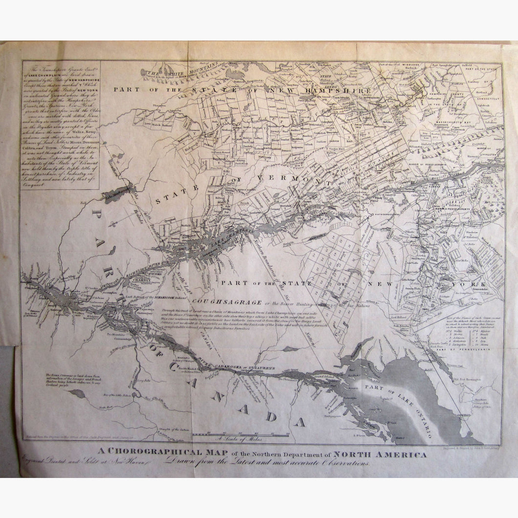
A Chorographical Map of the Northern Departments of North America. A smaller edition of the 1778 map by Bernard Romans. The first map to use the term "State of Vermont" after the Declaration of Independence. The map is orientated with the North at the lower left.
Inset information at top.
Engraved and printed by John E. Gavit in !850
Size 33 x 29 cm. 13 x 11.5 inches, Condition fair